
Glencastle ED topographic map
Interactive map
Click on the map to display elevation.
About this map
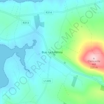
Name: Glencastle ED topographic map, elevation, terrain.
Location: Glencastle ED, Bunnahowen, County Mayo, Connacht, Ireland (54.17307 -9.92521 54.21307 -9.88521)
Average elevation: 135 ft
Minimum elevation: -7 ft
Maximum elevation: 745 ft