
Vroenhoven topographic map
Interactive map
Click on the map to display elevation.
About this map
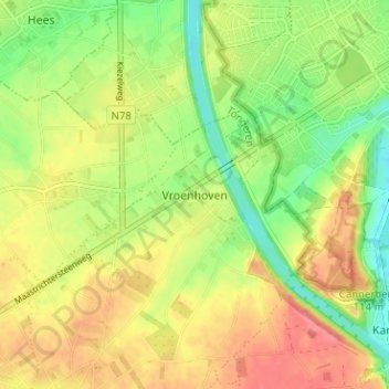
Name: Vroenhoven topographic map, elevation, terrain.
Location: Vroenhoven, Tongeren, Limburg, Vlaanderen, 3770, België (50.80802 5.61748 50.84802 5.65748)
Average elevation: 295 ft
Minimum elevation: 177 ft
Maximum elevation: 407 ft