
乌兰布和农场 topographic map
Interactive map
Click on the map to display elevation.
About this map
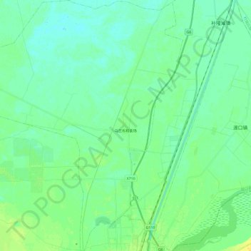
Name: 乌兰布和农场 topographic map, elevation, terrain.
Location: 乌兰布和农场, 磴口县, 巴彦淖尔市, 内蒙古自治区, 中国 (40.33464 106.83584 40.51154 107.05658)
Average elevation: 3,445 ft
Minimum elevation: 3,425 ft
Maximum elevation: 3,488 ft
Other topographic maps
Click on a map to view its topography, its elevation and its terrain.