
Lubuk Baja Kota topographic map
Interactive map
Click on the map to display elevation.
About this map
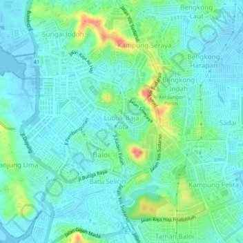
Name: Lubuk Baja Kota topographic map, elevation, terrain.
Average elevation: 59 ft
Minimum elevation: -13 ft
Maximum elevation: 266 ft
Other topographic maps
Click on a map to view its topography, its elevation and its terrain.
Teluk Tering
Indonesia > Riau Islands > Batam City > Teluk Tering
Teluk Tering, Batam City, Riau Islands, 24961, Indonesia
Average elevation: 43 ft
Taman Seruni Indah
Indonesia > Riau Islands > Batam City
Taman Seruni Indah, Batam City, Riau Islands, 29456, Indonesia
Average elevation: 52 ft
Keban
Indonesia > Riau Islands > Batam City
Keban, Batam City, Riau Islands, Indonesia
Average elevation: 13 ft