
Pong Dam topographic map
Interactive map
Click on the map to display elevation.
About this map
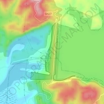
Name: Pong Dam topographic map, elevation, terrain.
Location: Pong Dam, Fatehpur, Kangra District, Himachal Pradesh, India (31.96330 75.93934 31.97857 75.95292)
Average elevation: 1,332 ft
Minimum elevation: 1,079 ft
Maximum elevation: 1,729 ft