
Pilot Hill topographic map
Interactive map
Click on the map to display elevation.
About this map
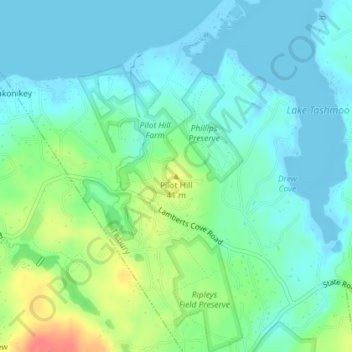
Name: Pilot Hill topographic map, elevation, terrain.
Average elevation: 49 ft
Minimum elevation: -20 ft
Maximum elevation: 187 ft
Other topographic maps
Click on a map to view its topography, its elevation and its terrain.
Vineyard Haven
United States > Massachusetts > Dukes County > Tisbury
Vineyard Haven, Tisbury, Dukes County, Massachusetts, 02568, United States
Average elevation: 33 ft