
Şirince topographic map
Interactive map
Click on the map to display elevation.
About this map
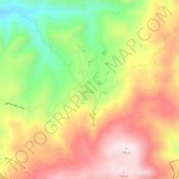
Name: Şirince topographic map, elevation, terrain.
Location: Şirince, Selçuk, Izmir, Aegean Region, Turkey (37.92279 27.41345 37.96279 27.45345)
Average elevation: 1,411 ft
Minimum elevation: 233 ft
Maximum elevation: 2,444 ft