
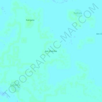
Am Chéchia topographic map
Interactive map
Click on the map to display elevation.
About this map
Name: Am Chéchia topographic map, elevation, terrain.
Location: Am Chéchia, Hadjer-Lamis, Chad (12.81745 15.50911 12.85745 15.54911)
Average elevation: 945 ft
Minimum elevation: 938 ft
Maximum elevation: 951 ft
Other topographic maps
Click on a map to view its topography, its elevation and its terrain.