
Leignon topographic map
Interactive map
Click on the map to display elevation.
About this map
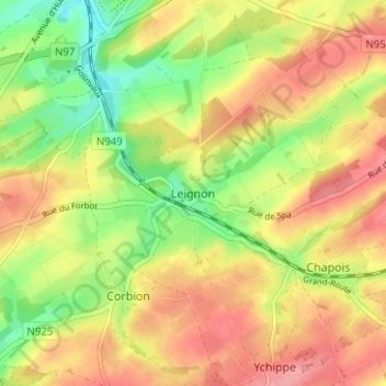
Name: Leignon topographic map, elevation, terrain.
Location: Leignon, Ciney, Dinant, Namen, Wallonië, 5590, België (50.24874 5.09026 50.28874 5.13026)
Average elevation: 938 ft
Minimum elevation: 774 ft
Maximum elevation: 1,076 ft