
Căpâlna topographic map
Interactive map
Click on the map to display elevation.
About this map
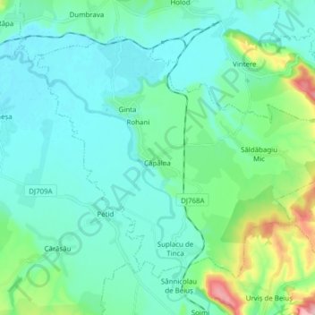
Name: Căpâlna topographic map, elevation, terrain.
Location: Căpâlna, Bihor, Romania (46.69670 22.04409 46.77772 22.19759)
Average elevation: 509 ft
Minimum elevation: 397 ft
Maximum elevation: 1,024 ft
Other topographic maps
Click on a map to view its topography, its elevation and its terrain.