
Mount Melville topographic map
Interactive map
Click on the map to display elevation.
About this map
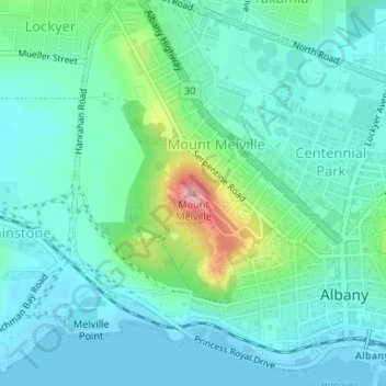
Name: Mount Melville topographic map, elevation, terrain.
Average elevation: 105 ft
Minimum elevation: -3 ft
Maximum elevation: 495 ft
Other topographic maps
Click on a map to view its topography, its elevation and its terrain.
Torndirrup National Park
Australia > Western Australia > Albany
Torndirrup National Park, Quaranup Road, Goode Beach, Albany, Western Australia, Australia
Average elevation: 167 ft