
کنگان topographic map
Interactive map
Click on the map to display elevation.
About this map
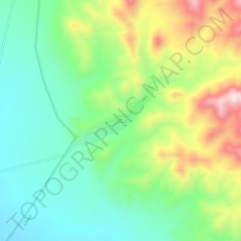
Name: کنگان topographic map, elevation, terrain.
Average elevation: 7,021 ft
Minimum elevation: 6,519 ft
Maximum elevation: 7,933 ft
Other topographic maps
Click on a map to view its topography, its elevation and its terrain.
Makhunik
Iran > South Khorasan Province > Sarbisheh County > دهستان درح
Makhunik, دهستان درح, بخش درح, Sarbisheh County, South Khorasan Province, Iran
Average elevation: 5,371 ft