
Llangunllo topographic map
Interactive map
Click on the map to display elevation.
About this map
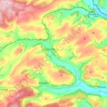
Name: Llangunllo topographic map, elevation, terrain.
Location: Llangunllo, Powys, Wales, United Kingdom (52.28957 -3.20846 52.37211 -3.09056)
Average elevation: 1,089 ft
Minimum elevation: 591 ft
Maximum elevation: 1,680 ft