
Lakhpat (Bachau) topographic map
Interactive map
Click on the map to display elevation.
About this map
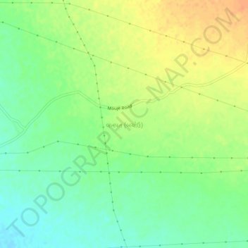
Name: Lakhpat (Bachau) topographic map, elevation, terrain.
Location: Lakhpat (Bachau), Bhachau Taluka, Kachchh, Gujarat, India (23.34115 70.45127 23.38115 70.49127)
Average elevation: 200 ft
Minimum elevation: 141 ft
Maximum elevation: 262 ft
Other topographic maps
Click on a map to view its topography, its elevation and its terrain.
Khadir Bet
India > Gujarat > Bhachau Taluka
Khadir Bet, Bhachau Taluka, Kachchh, Gujarat, India
Average elevation: 46 ft
Kalyanpar (Bachau)
India > Gujarat > Bhachau Taluka
Kalyanpar (Bachau), Bhachau Taluka, Kachchh, Gujarat, 370165, India
Average elevation: 62 ft