
Sofkee topographic map
Click on the map to display elevation.
About this map
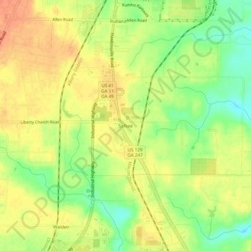
Name: Sofkee topographic map, elevation, terrain.
Location: Sofkee, Macon, Bibb County, Georgia, 31297, United States (32.70431 -83.67324 32.74431 -83.63324)
Average elevation: 361 ft
Minimum elevation: 276 ft
Maximum elevation: 423 ft
Bibb County trails, hiking, mountain biking, running and outdoor activities
Other topographic maps
Click on a map to view its topography, its elevation and its terrain.
Ocmulgee Mounds National Historical Park
United States > Georgia > Bibb County > Macon
Average elevation: 315 ft