
Aluva topographic map
Click on the map to display elevation.
Aluva
Aluva Railway Station (IR Code: AWY) is a grade-A station and the third busiest in Kochi after Ernakulam Junction railway station and Ernakulam Town railway station. Every passenger and express train bound for southern Kerala stops here. Travelers from the Idukki district typically use either the Aluva or the Tripunithura railway station, as the topography of Idukki does not allow for a railway station. Notably, no trains originate or terminate at Aluva Railway Station. The station is situated at the junction of Railway Station Road near the KSRTC stand, which provides connections via KSRTC buses and City Low Floor buses (with and without A/C) to serve most locations in Kerala.
About this map
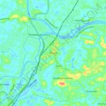
Name: Aluva topographic map, elevation, terrain.
Location: Aluva, Ernakulam, Kerala, 683101, India (10.06777 76.31685 10.14777 76.39685)
Average elevation: 36 ft
Minimum elevation: -7 ft
Maximum elevation: 171 ft
Other topographic maps
Click on a map to view its topography, its elevation and its terrain.