
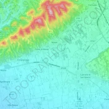
Maser topographic map
Interactive map
Click on the map to display elevation.
About this map
Name: Maser topographic map, elevation, terrain.
Location: Maser, Treviso, Veneto, Italy (45.76450 11.92580 45.83480 12.00221)
Average elevation: 522 ft
Minimum elevation: 282 ft
Maximum elevation: 1,558 ft