
Cañar topographic map
Interactive map
Click on the map to display elevation.
About this map
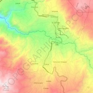
Name: Cañar topographic map, elevation, terrain.
Location: Cañar, Ecuador (-2.57573 -79.03091 -2.50136 -78.92071)
Average elevation: 10,495 ft
Minimum elevation: 7,402 ft
Maximum elevation: 13,307 ft