
Floresta topographic map
Interactive map
Click on the map to display elevation.
About this map
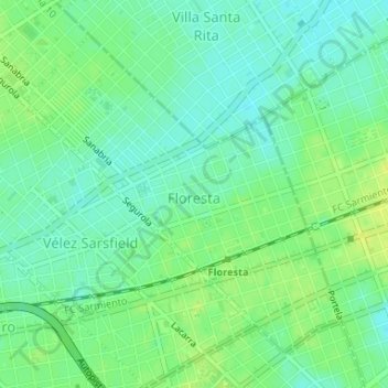
Name: Floresta topographic map, elevation, terrain.
Location: Floresta, CABA, Argentina (-34.63893 -58.49820 -34.61673 -58.47128)
Average elevation: 75 ft
Minimum elevation: 49 ft
Maximum elevation: 102 ft
Other topographic maps
Click on a map to view its topography, its elevation and its terrain.