
King Fahad topographic map
Interactive map
Click on the map to display elevation.
About this map
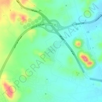
Name: King Fahad topographic map, elevation, terrain.
Location: King Fahad, At Taif, Makkah Region, Saudi Arabia (21.28948 40.37893 21.29532 40.38488)
Average elevation: 5,607 ft
Minimum elevation: 5,489 ft
Maximum elevation: 5,853 ft