
Ashville topographic map
Interactive map
Click on the map to display elevation.
About this map
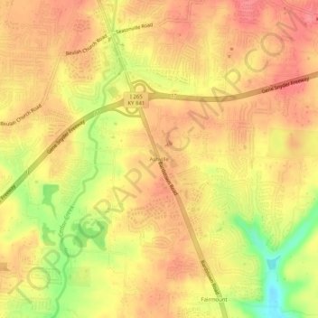
Name: Ashville topographic map, elevation, terrain.
Location: Ashville, Jefferson County, Kentucky, 40291, United States (38.11412 -85.59958 38.15412 -85.55958)
Average elevation: 676 ft
Minimum elevation: 512 ft
Maximum elevation: 751 ft