
Tark topographic map
Interactive map
Click on the map to display elevation.
About this map
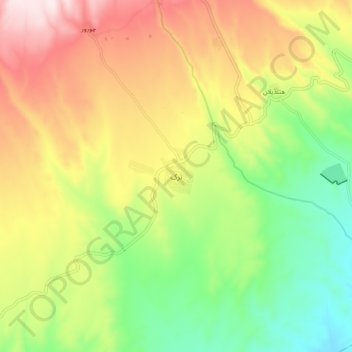
Name: Tark topographic map, elevation, terrain.
Average elevation: 4,948 ft
Minimum elevation: 4,167 ft
Maximum elevation: 5,906 ft
Other topographic maps
Click on a map to view its topography, its elevation and its terrain.
Kandovan
Iran > East Azerbaijan Province > Mianeh County > دهستان کندوان
Kandovan, دهستان کندوان, بخش کندوان, Mianeh County, East Azerbaijan Province, Iran
Average elevation: 4,288 ft