
Nicholson topographic map
Interactive map
Click on the map to display elevation.
About this map
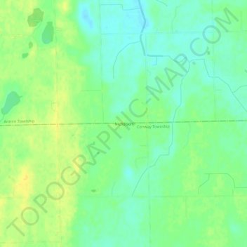
Name: Nicholson topographic map, elevation, terrain.
Location: Nicholson, Livingston County, Michigan, 48857, USA (42.75698 -84.14385 42.79698 -84.10385)
Average elevation: 896 ft
Minimum elevation: 860 ft
Maximum elevation: 935 ft