
Pelican Rapids topographic map
Interactive map
Click on the map to display elevation.
About this map
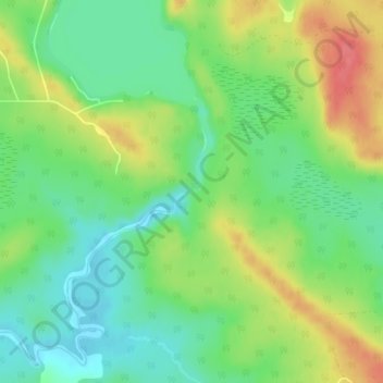
Name: Pelican Rapids topographic map, elevation, terrain.
Average elevation: 1,224 ft
Minimum elevation: 1,132 ft
Maximum elevation: 1,358 ft
Other topographic maps
Click on a map to view its topography, its elevation and its terrain.
Slate Islands
Canada > Ontario > Unorganized Kenora District
Slate Islands, Unorganized Kenora District, Kenora District, Ontario, Canada
Average elevation: 1,056 ft