
Churni topographic map
Interactive map
Click on the map to display elevation.
About this map
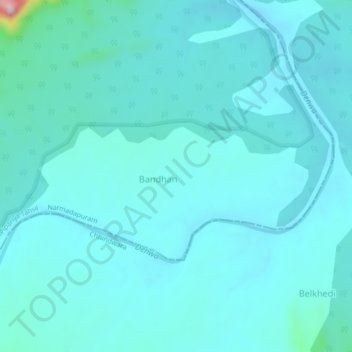
Name: Churni topographic map, elevation, terrain.
Location: Churni, Pipariya Tahsil], Hoshangabad, Madhya Pradesh, India (22.40466 78.52518 22.44466 78.56518)
Average elevation: 1,759 ft
Minimum elevation: 1,650 ft
Maximum elevation: 2,717 ft