
Bandeiras topographic map
Interactive map
Click on the map to display elevation.
About this map
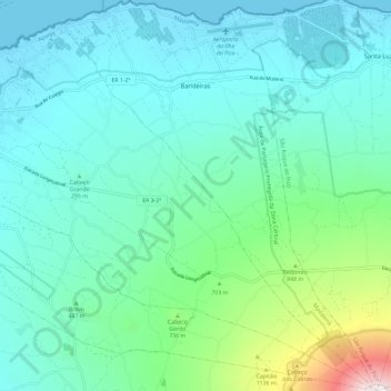
Name: Bandeiras topographic map, elevation, terrain.
Location: Bandeiras, Madalena, Pico, Açores, Portugal (38.46933 -28.49534 38.56071 -28.40031)
Average elevation: 1,332 ft
Minimum elevation: 0 ft
Maximum elevation: 7,451 ft