
Oxamarca topographic map
Interactive map
Click on the map to display elevation.
About this map
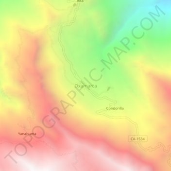
Name: Oxamarca topographic map, elevation, terrain.
Location: Oxamarca, Celendín, Cajamarca, Perú (-7.06190 -78.08802 -7.02190 -78.04802)
Average elevation: 9,948 ft
Minimum elevation: 6,588 ft
Maximum elevation: 12,520 ft
Other topographic maps
Click on a map to view its topography, its elevation and its terrain.