
Canna topographic map
Interactive map
Click on the map to display elevation.
About this map
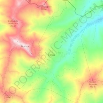
Name: Canna topographic map, elevation, terrain.
Location: Canna, Cosenza, Calabria, Italy (40.06288 16.47788 40.12972 16.53813)
Average elevation: 1,453 ft
Minimum elevation: 377 ft
Maximum elevation: 2,792 ft