
Cả Vuông topographic map
Interactive map
Click on the map to display elevation.
About this map
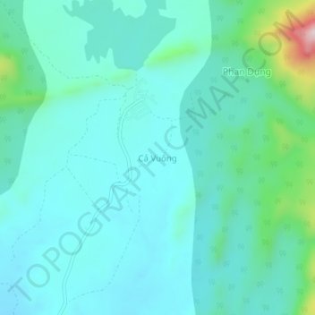
Name: Cả Vuông topographic map, elevation, terrain.
Location: Cả Vuông, Tuy Phong District, Bình Thuận Province, Vietnam (11.38328 108.63951 11.42328 108.67951)
Average elevation: 719 ft
Minimum elevation: 499 ft
Maximum elevation: 1,798 ft