
El Zapote topographic map
Interactive map
Click on the map to display elevation.
About this map
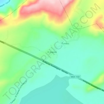
Name: El Zapote topographic map, elevation, terrain.
Location: El Zapote, Jiménez, Michoacán, México (19.93447 -101.66489 19.97447 -101.62489)
Average elevation: 6,709 ft
Minimum elevation: 6,434 ft
Maximum elevation: 7,267 ft
Other topographic maps
Click on a map to view its topography, its elevation and its terrain.
Villa Jiménez
Villa Jiménez, Jiménez, Michoacán, México
Average elevation: 6,640 ft