
Blanes topographic map
Interactive map
Click on the map to display elevation.
About this map
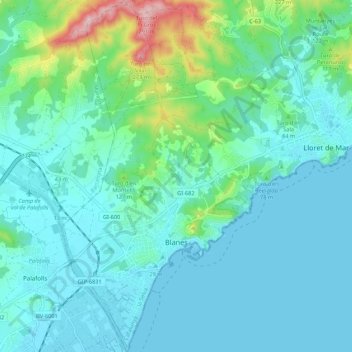
Name: Blanes topographic map, elevation, terrain.
Location: Blanes, Selva, Gerona, Catalonië, 17300, Spanje (41.65078 2.75787 41.73102 2.81680)
Average elevation: 164 ft
Minimum elevation: 0 ft
Maximum elevation: 951 ft