
Heathcote topographic map
Interactive map
Click on the map to display elevation.
About this map
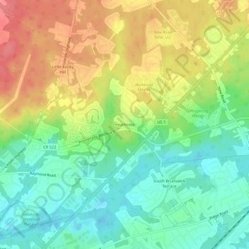
Name: Heathcote topographic map, elevation, terrain.
Location: Heathcote, Middlesex County, New Jersey, 08852, USA (40.36872 -74.59571 40.40872 -74.55571)
Average elevation: 167 ft
Minimum elevation: 59 ft
Maximum elevation: 305 ft