
Le Nandrion topographic map
Interactive map
Click on the map to display elevation.
About this map
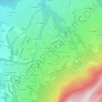
Name: Le Nandrion topographic map, elevation, terrain.
Average elevation: 2,329 ft
Minimum elevation: 1,079 ft
Maximum elevation: 5,098 ft
Other topographic maps
Click on a map to view its topography, its elevation and its terrain.
Saint-Victor
France > Auvergne-Rhône-Alpes > Savoie > Trévignin
Saint-Victor, Trévignin, Chambéry, Savoie, Auvergne-Rhône-Alpes, France métropolitaine, 73100, France
Average elevation: 2,579 ft
Les Laurendons
France > Auvergne-Rhône-Alpes > Savoie > Trévignin
Les Laurendons, Trévignin, Chambéry, Savoie, Auvergne-Rhône-Alpes, France métropolitaine, 73100, France
Average elevation: 2,185 ft