
Hermannskogel topographic map
Interactive map
Click on the map to display elevation.
About this map
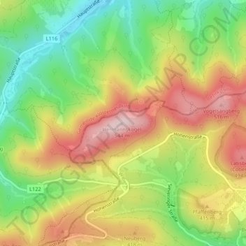
Name: Hermannskogel topographic map, elevation, terrain.
Location: Hermannskogel, Vienna, 3411, Austria (48.27072 16.29468 48.27082 16.29478)
Average elevation: 1,198 ft
Minimum elevation: 712 ft
Maximum elevation: 1,716 ft
Other topographic maps
Click on a map to view its topography, its elevation and its terrain.