Geolocate

Lobau topographic map

Click on the map to display elevation.

About this map

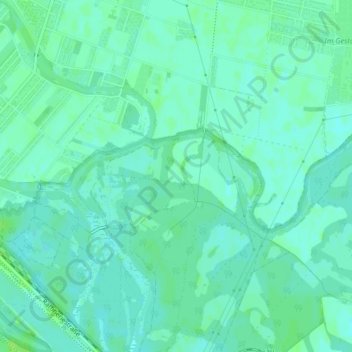
Name: Lobau topographic map, elevation, terrain.

Location: Lobau, KG Aspern, Donaustadt, Vienna, 1220, Austria (48.18631 16.48227 48.20631 16.50227)

Average elevation: 512 ft

Minimum elevation: 499 ft

Maximum elevation: 531 ft

Other topographic maps

Click on a map to view its topography, its elevation and its terrain.

KG Stammersdorf

Austria > Vienna

Average elevation: 643 ft

Gear up for your next adventure:

🛠️Outdoor Gear Repair Kit - Essential tools to fix gear on the trail
🏕️Family Camping Gear - Essentials for group camping trips
🧭Map Reading Tools - Tools and kits for map navigation
🚪Portable Camp Chair - Foldable chair for comfort at camp
🪶Fire Starter Kit - Reliable fire starter for survival and camping

As an Amazon Associate, this site earns from qualifying purchases at no extra cost to you.