
Grupont topographic map
Interactive map
Click on the map to display elevation.
About this map
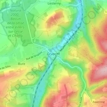
Name: Grupont topographic map, elevation, terrain.
Location: Grupont, Tellin, Neufchâteau, Luxemburg, Wallonië, 6927, België (50.07234 5.25981 50.11234 5.29981)
Average elevation: 968 ft
Minimum elevation: 702 ft
Maximum elevation: 1,348 ft