Geolocate

Askja topographic map

Click on the map to display elevation.

About this map

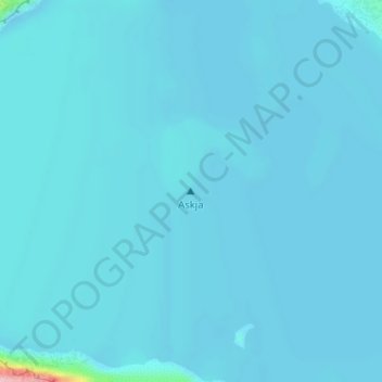
Name: Askja topographic map, elevation, terrain.

Location: Askja, Þingeyjarsveit, Northeastern Region, Iceland (65.03039 -16.74694 65.03049 -16.74684)

Average elevation: 3,484 ft

Minimum elevation: 3,465 ft

Maximum elevation: 4,032 ft

Other topographic maps

Click on a map to view its topography, its elevation and its terrain.

Mývatn

Iceland > Þingeyjarsveit > Reykjahlíð

Average elevation: 935 ft

Stakhólstjörn

Iceland > Þingeyjarsveit

Average elevation: 919 ft

Skútustaðagígar

Iceland > Þingeyjarsveit

Average elevation: 919 ft

Gear up for your next adventure:

🌧️Backpack Rain Cover - Keep gear dry in wet weather
GPS Sports Watch - GPS watch for running, hiking and training
💧Water Filtration Bottles - Safely drink from streams and lakes while exploring
🛡️Bear Spray Outdoor - Protection in bear country hikes
🎁Geography Themed Gifts - Unique gift ideas for map lovers and geography enthusiasts

As an Amazon Associate, this site earns from qualifying purchases at no extra cost to you.