
Naranjito topographic map
Interactive map
Click on the map to display elevation.
About this map
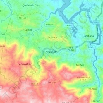
Name: Naranjito topographic map, elevation, terrain.
Location: Naranjito, Puerto Rico, 00719, USA (18.26104 -66.28532 18.34104 -66.20532)
Average elevation: 863 ft
Minimum elevation: 125 ft
Maximum elevation: 2,037 ft