
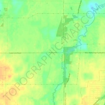
Pritchard topographic map
Interactive map
Click on the map to display elevation.
About this map
Name: Pritchard topographic map, elevation, terrain.
Location: Pritchard, Paris Township, Portage County, Ohio, 44429, USA (41.11422 -81.02815 41.15422 -80.98815)
Average elevation: 955 ft
Minimum elevation: 896 ft
Maximum elevation: 1,001 ft