
Independence topographic map
Interactive map
Click on the map to display elevation.
About this map
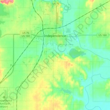
Name: Independence topographic map, elevation, terrain.
Location: Independence, Montgomery County, Kansas, 67301, USA (37.14315 -95.79233 37.26308 -95.68721)
Average elevation: 804 ft
Minimum elevation: 725 ft
Maximum elevation: 981 ft