
Futa topographic map
Interactive map
Click on the map to display elevation.
About this map
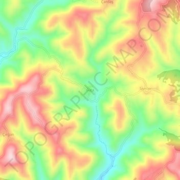
Name: Futa topographic map, elevation, terrain.
Location: Futa, Kozlu, Zonguldak, Black Sea Region, Turkey (41.29737 31.73159 41.33737 31.77159)
Average elevation: 1,506 ft
Minimum elevation: 974 ft
Maximum elevation: 2,014 ft