
Wiltz topographic map
Interactive map
Click on the map to display elevation.
About this map
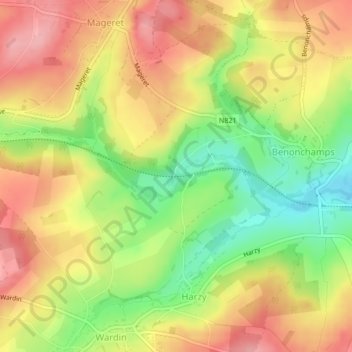
Name: Wiltz topographic map, elevation, terrain.
Location: Wiltz, Bastenaken, Luxemburg, Wallonië, 6600, België (50.00246 5.79350 50.00260 5.79351)
Average elevation: 1,503 ft
Minimum elevation: 1,293 ft
Maximum elevation: 1,673 ft
Other topographic maps
Click on a map to view its topography, its elevation and its terrain.
Villers-la-Bonne-Eau
België > Wallonië > Bastenaken > Villers-la-Bonne-Eau
Villers-la-Bonne-Eau, Bastenaken, Luxemburg, Wallonië, 6600, België
Average elevation: 1,526 ft