
Cartes topographic map
Interactive map
Click on the map to display elevation.
About this map
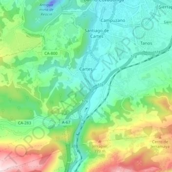
Name: Cartes topographic map, elevation, terrain.
Location: Cartes, Besaya, Cantabria, 39311, España (43.29197 -4.12961 43.34593 -4.05869)
Average elevation: 545 ft
Minimum elevation: -151 ft
Maximum elevation: 1,867 ft