
Terche topographic map
Interactive map
Click on the map to display elevation.
About this map
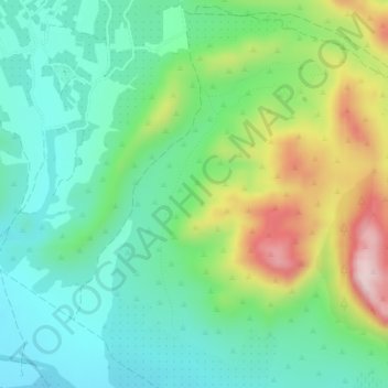
Name: Terche topographic map, elevation, terrain.
Location: Terche, Hellín, Albacete, Castiglia-La Mancia, Spagna (38.42982 -1.70267 38.44982 -1.68267)
Average elevation: 1,604 ft
Minimum elevation: 1,276 ft
Maximum elevation: 2,310 ft