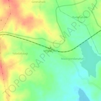
Sampige Road topographic map
Interactive map
Click on the map to display elevation.
About this map
Name: Sampige Road topographic map, elevation, terrain.
Average elevation: 2,680 ft
Minimum elevation: 2,595 ft
Maximum elevation: 2,789 ft

Click on the map to display elevation.
Name: Sampige Road topographic map, elevation, terrain.
Average elevation: 2,680 ft
Minimum elevation: 2,595 ft
Maximum elevation: 2,789 ft