
Finley topographic map
Interactive map
Click on the map to display elevation.
About this map
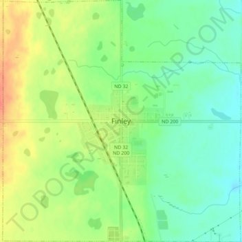
Name: Finley topographic map, elevation, terrain.
Location: Finley, Steele County, North Dakota, United States (47.49953 -97.85711 47.52871 -97.81446)
Average elevation: 1,440 ft
Minimum elevation: 1,365 ft
Maximum elevation: 1,539 ft