
红星乡 topographic map
Interactive map
Click on the map to display elevation.
About this map
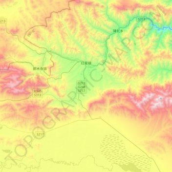
Name: 红星乡 topographic map, elevation, terrain.
Location: 红星乡, 若尔盖县, 阿坝藏族羌族自治州, Sichuan, China (33.90258 102.56449 34.21514 102.90000)
Average elevation: 11,490 ft
Minimum elevation: 9,081 ft
Maximum elevation: 14,531 ft