
Madhupur topographic map
Interactive map
Click on the map to display elevation.
About this map
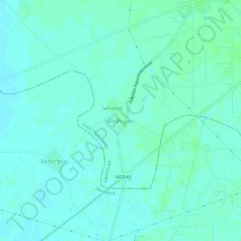
Name: Madhupur topographic map, elevation, terrain.
Location: Madhupur, Kapurthala Tahsil, Kapurthala, Punjab, India (31.22080 75.40713 31.26080 75.44713)
Average elevation: 755 ft
Minimum elevation: 745 ft
Maximum elevation: 771 ft