
Saint Josephs topographic map
Interactive map
Click on the map to display elevation.
About this map
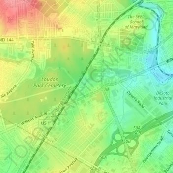
Name: Saint Josephs topographic map, elevation, terrain.
Location: Saint Josephs, Baltimore, Maryland, États-Unis d'Amérique (39.27131 -76.67938 39.27711 -76.67149)
Average elevation: 161 ft
Minimum elevation: 36 ft
Maximum elevation: 315 ft
Other topographic maps
Click on a map to view its topography, its elevation and its terrain.
CARE
États-Unis d'Amérique > Maryland > Baltimore
CARE, Baltimore, Maryland, États-Unis d'Amérique
Average elevation: 75 ft
Baltimore
États-Unis d'Amérique > Maryland > Baltimore
Baltimore, Maryland, 21203, États-Unis d'Amérique
Average elevation: 213 ft