
Constancia topographic map
Interactive map
Click on the map to display elevation.
About this map
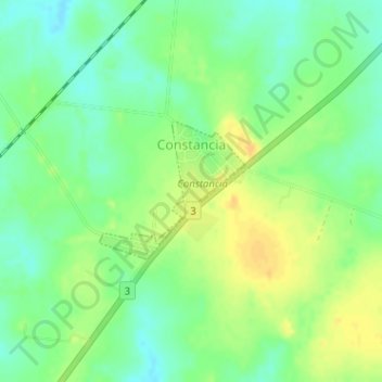
Name: Constancia topographic map, elevation, terrain.
Location: Constancia, Paysandú, 60000, Uruguai (-32.21212 -58.01360 -32.20227 -58.00147)
Average elevation: 141 ft
Minimum elevation: 98 ft
Maximum elevation: 187 ft
Other topographic maps
Click on a map to view its topography, its elevation and its terrain.